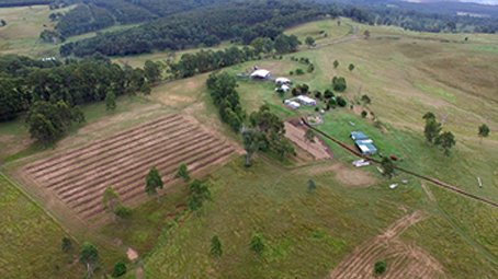
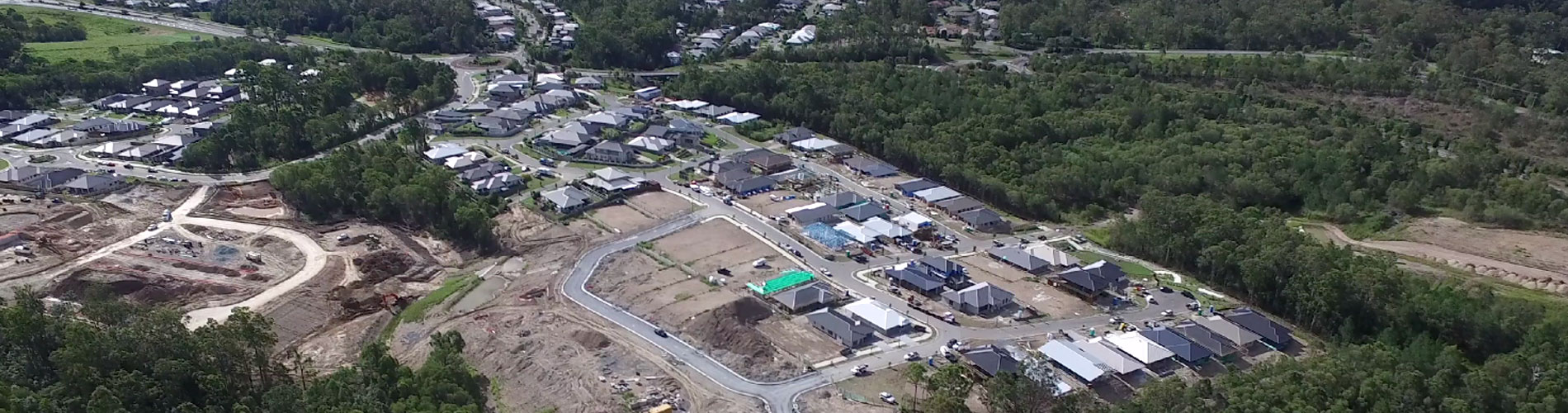
Aerial Photography, Monitoring & Surveying
JT Environmental provide private and commercial aerial photography using advanced electric operated GPS equipped drones with high resolution still and video capability.With the flexibility of our equipment (indoor and outdoor use) we can capture and post produce high quality aerial imagery with raw files able to be emailed within minutes of capture
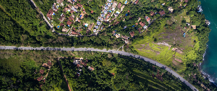
Whether it be Real Estate, Sporting Events, Development Application Due Diligence, intersection photography or Solar Panels and roof inspections; JT Environmental’s Aerial drones can capture that perfect image.
Utilising our 30 years of experience as remote aircraft operator JT Environmental can provide immediate site review and aerial inspections over a large area to determine current site uses and inspection.
Platforms that we use:
- DJI Inspire (capability of Filming with 4K camera at 24-30 fps with 60Mbps and taking 12.4MP still photos with included burst shooting options with Live HD view flexibility)
- DJI Mavic (Capability of creating clear 4k video at 30 fps, 1080P video at 96fps and 12MP Still photos)
- Skycatch platform high precision survey unit (Contour map export, DTM generation, 2D map, 3D point cloud, and 3D mesh viewing, PDF, TIF, LAS, and OBJ file export etc.)